
Downtowns
Vermont’s Historic Downtowns
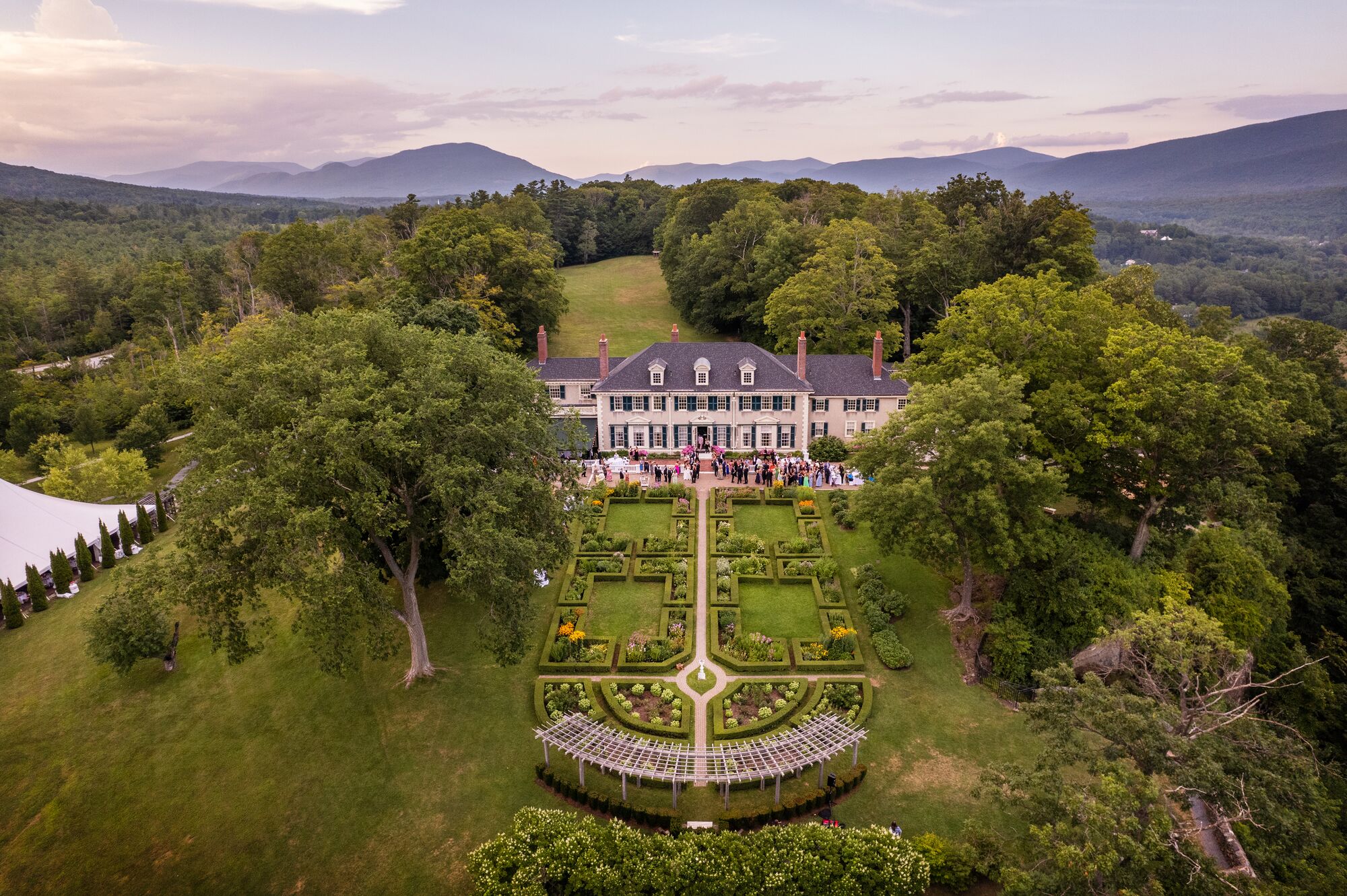
Each of Vermont’s historic downtowns, with its unique architectural character and storied buildings, beckons visitors to stroll through time. Historic storefronts house an array of delightful shops, from boutique stores to antique gems, inviting explorers to uncover one-of-a-kind treasures. Each downtown boasts its own distinctive backdrop and vibe, whether it’s the quick pulse of a college town or the timeless allure of a postcard-worthy village nestled amid rolling hills. As you wander, the air is infused with the welcoming aromas of local cafes and the palpable sense of community. Vermont downtowns are not just destinations; they are invitations to savor the authentic, diverse, and captivating spirit of the Green Mountain State.
Cultural Hubs
These downtowns stand out for their contribution to Vermont’s arts and culture scene, whether it’s through an in-depth exploration of the state’s granite quarrying past and present, a downtown with its entire architectural core on the National Registry of Historic Places, or a capital named among the best small towns for the arts in the U.S.
Culinary Destinations
Savor the true taste of the Green Mountain State in this collection of downtowns, where chefs source their ingredients from local farms and menus are built around the season.

Downtown Spotlight
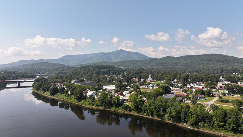
Windsor
Along the Connecticut River, and beneath Mount Ascutney, Windsor is where history, art, and scenic beauty come together. With two lakes downtown and cycling and hiking opportunities right outside, it offers the perfect opportunity for enjoying the outdoors in every season.
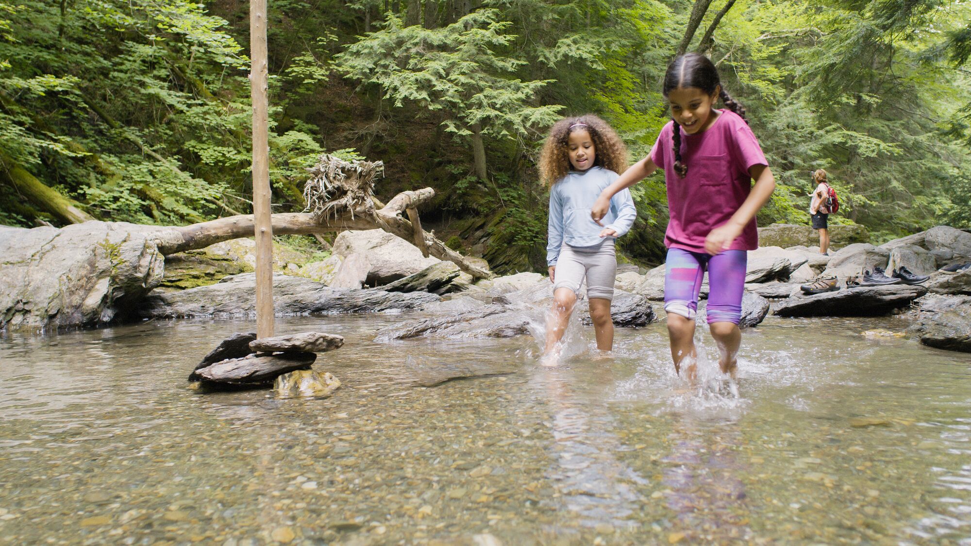
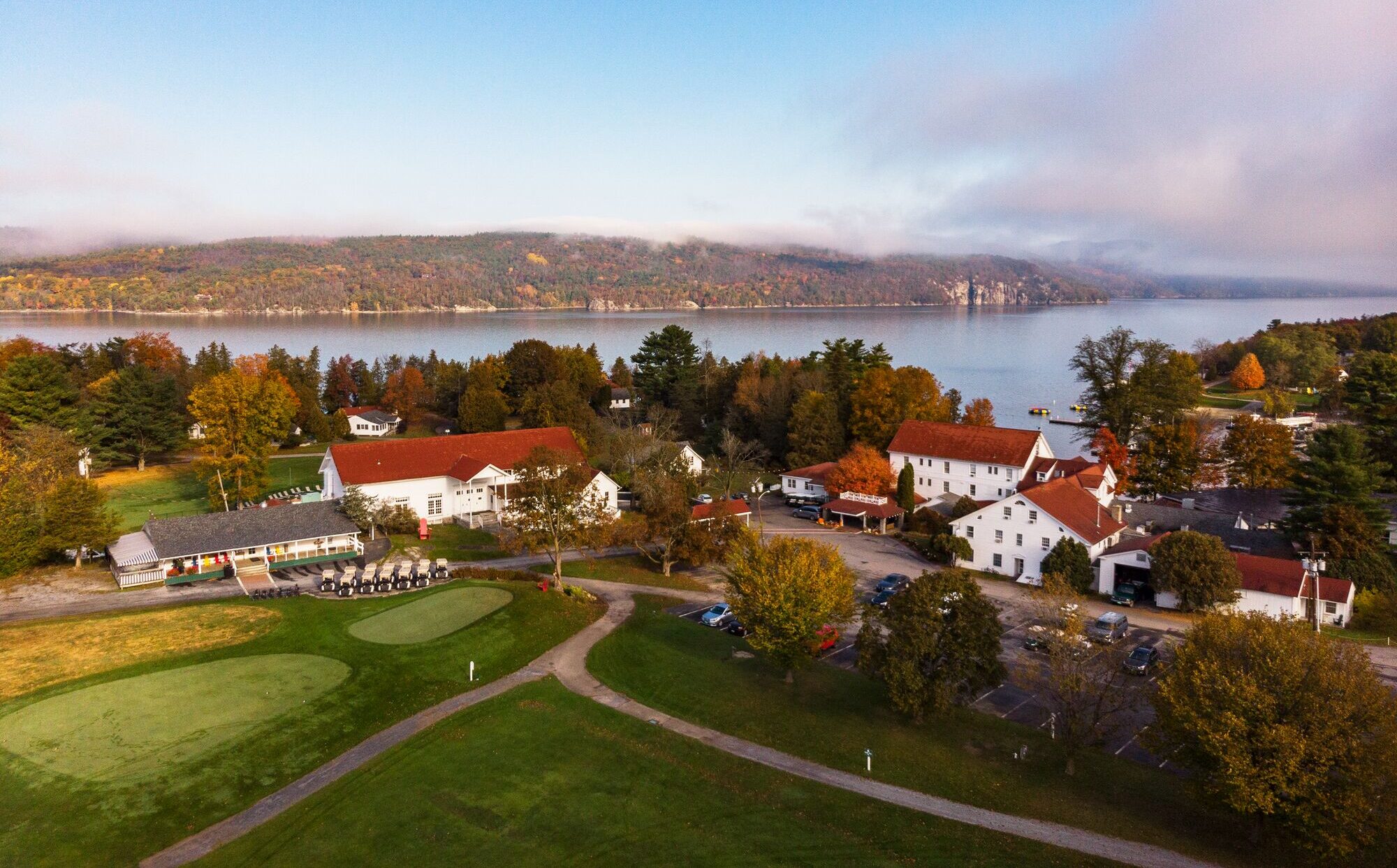
On the Water
A lakeside vacation offers the chance to unwind and relax with close access to beaches, water recreation, and dining on the dock. These Vermont downtowns are positioned with prime access to lakes Champlain and Memphremagog, two large lakes with access to New York and Canada.
On the Trail
When outdoor recreation is the focus, downtowns with close trail and mountain access make great destinations. From towns nestled at the base of ski resorts to those with a mountain biking or hiking trails just out the door, these towns are ideal recreation hubs.
Hidden Gems
Nestled amid Vermont’s picturesque landscapes, some downtowns emerge as hidden gems waiting to be discovered. Away from the well-trodden paths, these charming towns offer a timeless allure and unique character. Exploring Vermont’s lesser-known downtowns unveils a treasure trove of surprises for those seeking an authentic and off-the-beaten-path experience.

251 Unique Experiences
Vermont’s 251 Towns and Cities
There are 251 towns and cities in Vermont. From the largest (Burlington) to the smallest (St. George), each offers something new to discover. Vermont’s 251 Club members aim to visit each one, checking them off as they go.


Order Your Vacation Guide
Start planning your Vermont vacation with a free bundle that includes an official Vermont State Attractions Map, Vacation Guide, and additional brochures upon request, including scenic byways, state parks, cultural trails, and more.
Learn More about Order Your Vacation Guide