

Hiking


The end of the trail is only the beginning
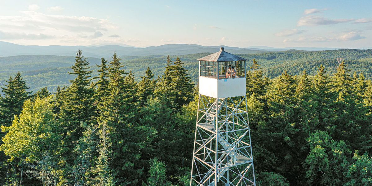
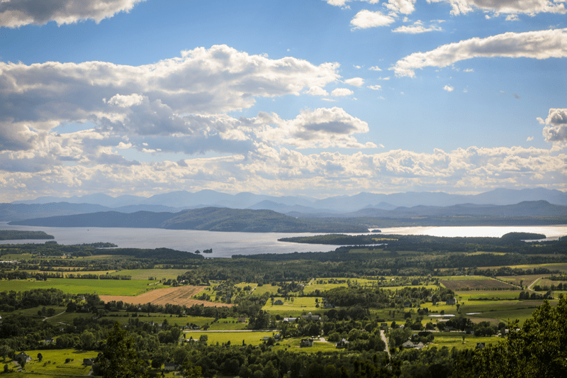
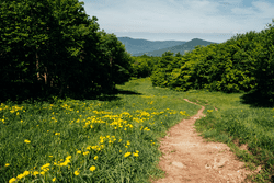
Hiking in Vermont
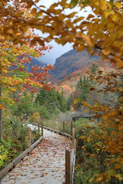
Hundreds of miles of hiking trails, including five summits higher than 4,000 feet, offer boundless opportunities to explore Vermont’s rugged terrain. Take in Green Mountain views along recreation paths and rail trails, accessible boardwalks, and marked trails through the forest.
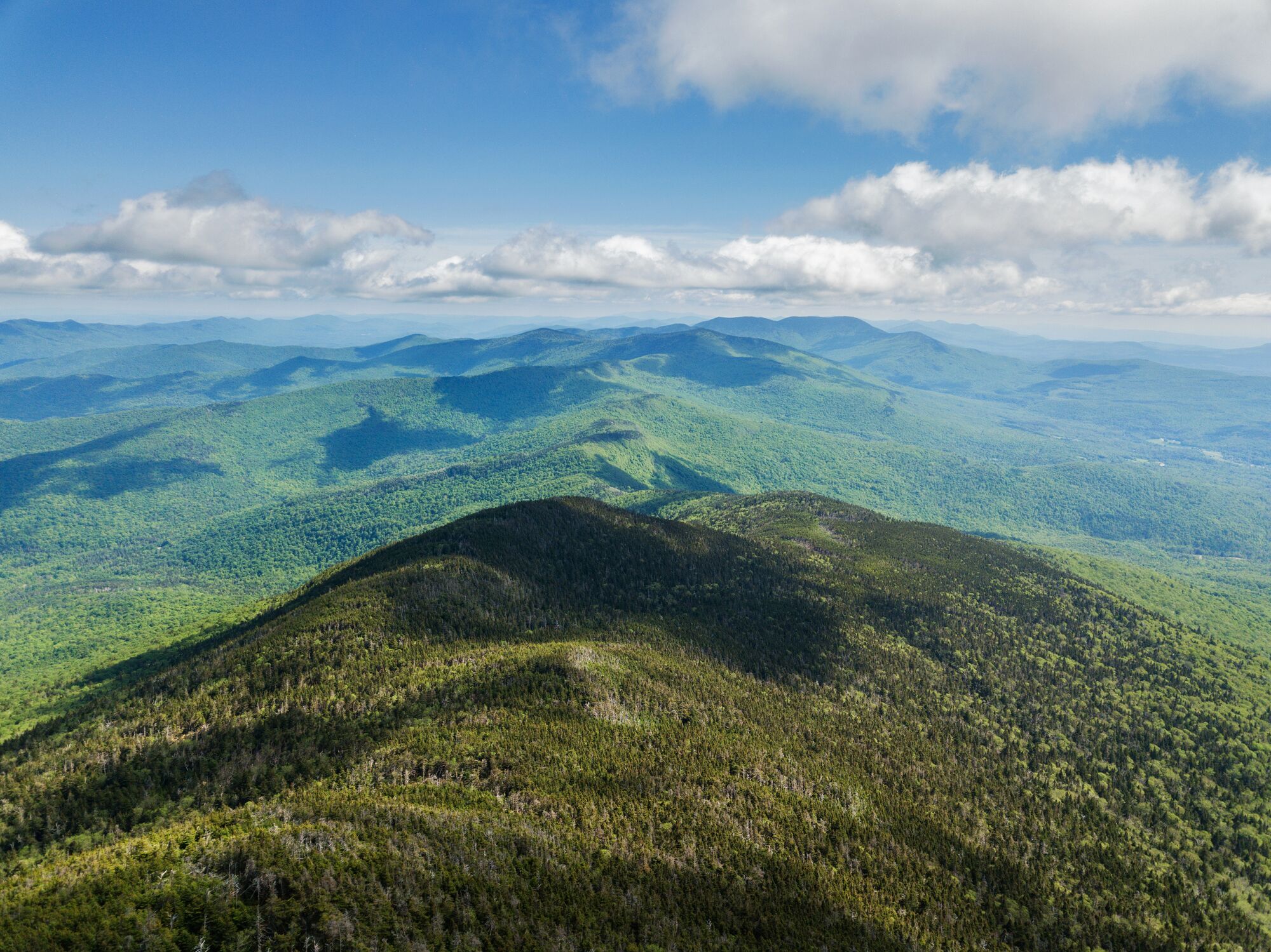
Vermont’s 4,000 Footers
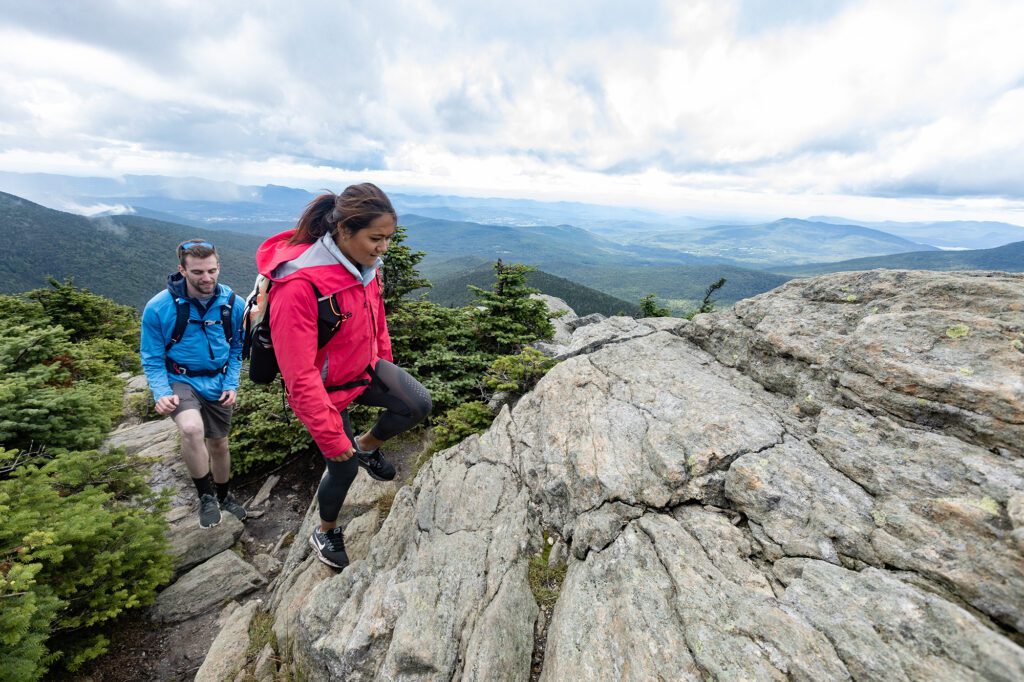
Vermont’s peaks that stand over 4,000 feet are some of the most notable hikes in the state. With 360-degree views from the top and a long history of the trails and how they formed, climb to the roof of Vermont on one of these hikes.
Camel’s Hump
This mountain’s distinctive shape makes it a landmark from many points in the state. At just over 4,000 feet, Camel’s Hump, called Tawabodiiwajo in Abenaki, affords beautiful views of central Vermont.
Read More about Camel’s HumpLearn MoreKillington Peak
Vermont’s second-highest mountain, called “the Beast of the East” for its winter terrain, is also a stop on the Long and Appalachian trails.
Read More about Killington PeakLearn MoreMount Ellen
Tied with Camel’s Hump for the third-highest mountain in Vermont, Mt. Ellen’s trails lie along the Long and Appalachian trails.
Read More about Mount EllenLearn MoreMount Abraham
The highest point in Addison County, Mt. Abraham is home to a historic plane crash site visible by a short detour on a hiking trail and is located within the Green Mountain National Forest.
Read More about Mount AbrahamLearn MoreMount Mansfield
Vermont’s tallest peak at 4,393 feet, has hiking trails starting in Underhill and Stowe. Mountain views are also accessible from the gondola at Stowe Mountain Resort or the nearby Auto Toll Road.
Read More about Mount MansfieldLearn MoreVermont Hikes
Vermont’s wide open spaces and diverse natural beauty creates the space to slow down, look around, and simply take notice.
Crosstown Trails
Offering 20 miles of interlinking trails through the Green Mountain National Forest. Located in West Dover, the Crosstown Trails are open to hikers and bikers.
Read More about Crosstown TrailsLearn MoreMount Hunger
Sweeping views of the Waterbury Reservoir from 3,540 feet await at the summit of Mount Hunger.
Read More about Mount HungerLearn MoreMount Pisgah
Stunning clifftop views of Lake Willoughby and the Northeast Kingdom await.
Read More about Mount PisgahLearn MoreMount Philo
A lower-elevation peak, Mount Philo offers breathtaking views of the Lake Champlain Valley either by hiking or driving the paved road to the top.
Read More about Mount PhiloLearn More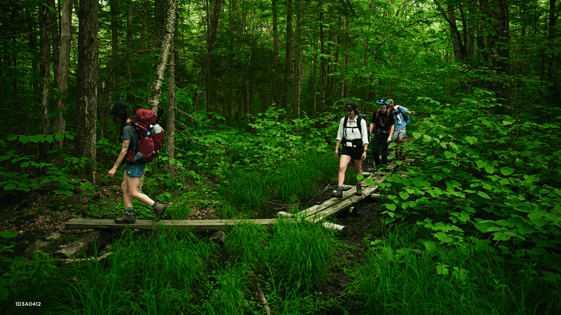

A Hiking Heritage
Vermont’s Long Trail
The Long Trail is the oldest long-distance hiking trail in the U.S., spanning 272 miles that run the length of Vermont continuously from the Massachusetts border to the Canadian border.
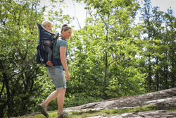
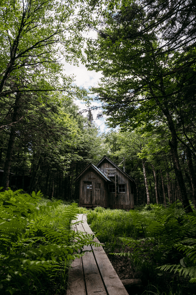
Trails and Views for Every Body
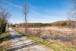
Accessible Hikes in Vermont
Boardwalks, rail trails, and other accessible paths bring the beauty of Vermont’s summit views to everyone. Whether you drive up a toll road to take in the beauty of Vermont’s highest peak or see the rugged face of Smugglers Notch from a boardwalk, Vermont’s beauty is for every body.
Find Your Park
Vermont State Parks
In Vermont, 55 state parks are open year-round, offering easy access to trails and paths through Green Mountain woods. Many have accessible trails, too. To narrow down your hiking options, start at the park finder.
Find Trails in Vermont
TrailFinder points to important information like trails closures, difficulty level and nearby services, as well as spotlighting accessible trails throughout the state.
Stewardship
Leave No Trace
Keep the trails free and open to all by being a good trail steward and responsible hiker. This means planning ahead and taking caution to stay on the trail, especially in Vermont’s fragile alpine zones. Find out what to bring, where to camp, and what to do when you need to use the bathroom while on the trail.


The Green Mountain Club
Green Mountain Club has been building and maintaining trails for over 100 years, including Vermont’s famous 272-mile Long Trail.
Learn More about The Green Mountain Club
VERMONT STATE PARKS BROCHURE
The Vermont State Parks brochure is your guide to parks, amenities, activities, rentals, and how to best plan your Vermont state park visit. Order it by mail or view it online.
Get the Brochure about VERMONT STATE PARKS BROCHURE